Section Hike: E10, Kap Arkona → Stralsund, Day Five
Hiking along the Baltic Coast on the Island of Rügen
It’s on this leg of my hike that I deviated from my planned route, adding an extra day to hike to a small campground on the northeastern tip of the Zudar peninsula, across the Schoritzer Wiek from the main island. My original plan had me hiking from Altkamp almost 25km to my next overnight: the grounds of a hotel near Gustow farther west. Given how tired I was getting, the 19km route to a proper campground won out. The route is here.

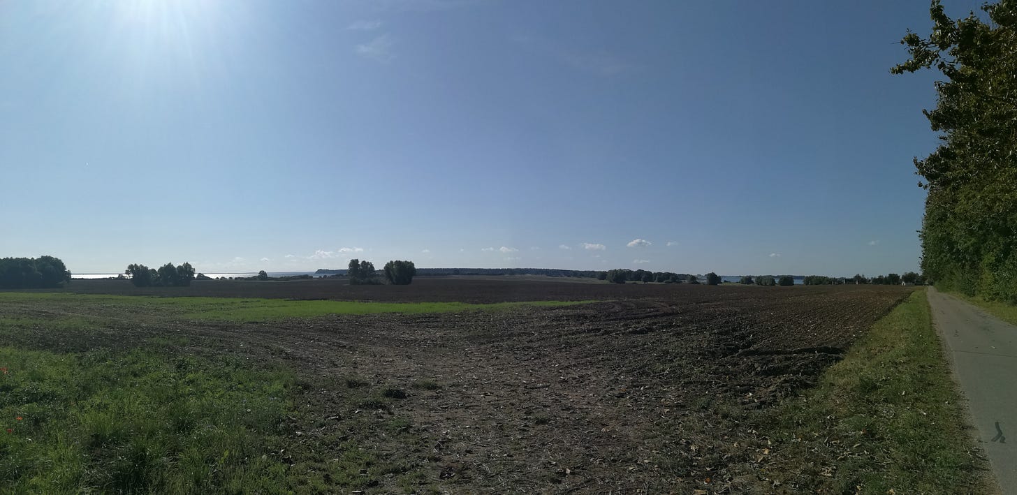
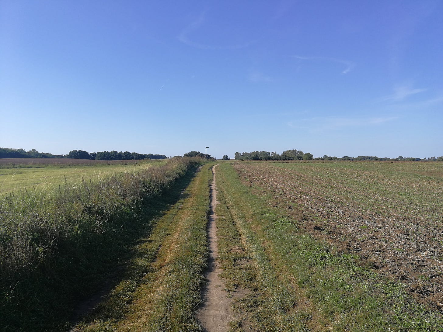
Much like how the previous day had ended, the first section of the route crosses farmland, usually along dirt tracks in between fields, like the picture at the top of this page. But after about four kilometers, the trail loops around a small wooded area; and when it returns to the line I was hiking along, I’m walking on a normal road. This continues through a couple small towns, eventually reaching the crossroads where I turn off the E10 for the rest of the day.
There’s a bike path along the road running south, passing through the village of Zudar for which the peninsula is named and which also features an old church and some earthworks on the water’s edge. The road passes through a couple more villages, with a mix of DDR-style apartment blocks and pre-war farmhouses. I keep passing a bakery van, making deliveries to each of the villages along the road, circling around the bay.
The majority of the Schoritzer Wiek, including portions of the coast on this part of the peninsula, is a nature preserve, and so my last section of trail on the approach to the campground finally leaves the paved road, and follows a forest road that eventually turns into a narrow footpath winding its way between trees, and then bushes, alongside the marshes and tall grass that compose this side of the bay’s wetlands. It always surprises me how quickly the biotopes change, from forest to grassland to marsh to beach, so that turning a corner on the trail puts you in very different surroundings. I shot a longer segment of video for this last portion of the trail, and it gives a good idea of the different environments:
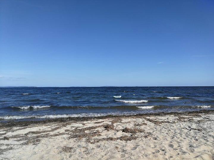
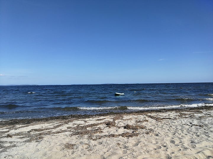
The campground itself was lovely, with different smaller sections separated from one another by treelines to give a sense of being more isolated, and with a few small amenities like water faucets spaced throughout the campground, and a cabin curiously named something like “rest hut” (I don’t exactly remember, but it gave me the impression it was for meditation exercises). But what I most appreciated was that the campground was directly on the beach, for which I had carried a bathing suit my entire hike. It was beautiful and clear in the afternoon, and I could see clear across the water to the chalk cliffs of the southeasternmost peninsula of Mönchgut, almost 15km across the Greifswald Bodden.


It was a nice way to end the day, but the water was unfortunately far too cold for me to do anything but wade in a bit and splash some on my arms. After that, I ate a quick dinner, and headed to bed.
Tomorrow was going to be a much more difficult hike than I anticipated, but that’s a story for the next post.


