Through-Hiker's Guide to the E10: Brandenburg Section Part 3, Burg-Kauper to Halbendorf
Essential information for through-hiking the E10, with daily stages.
General Remarks
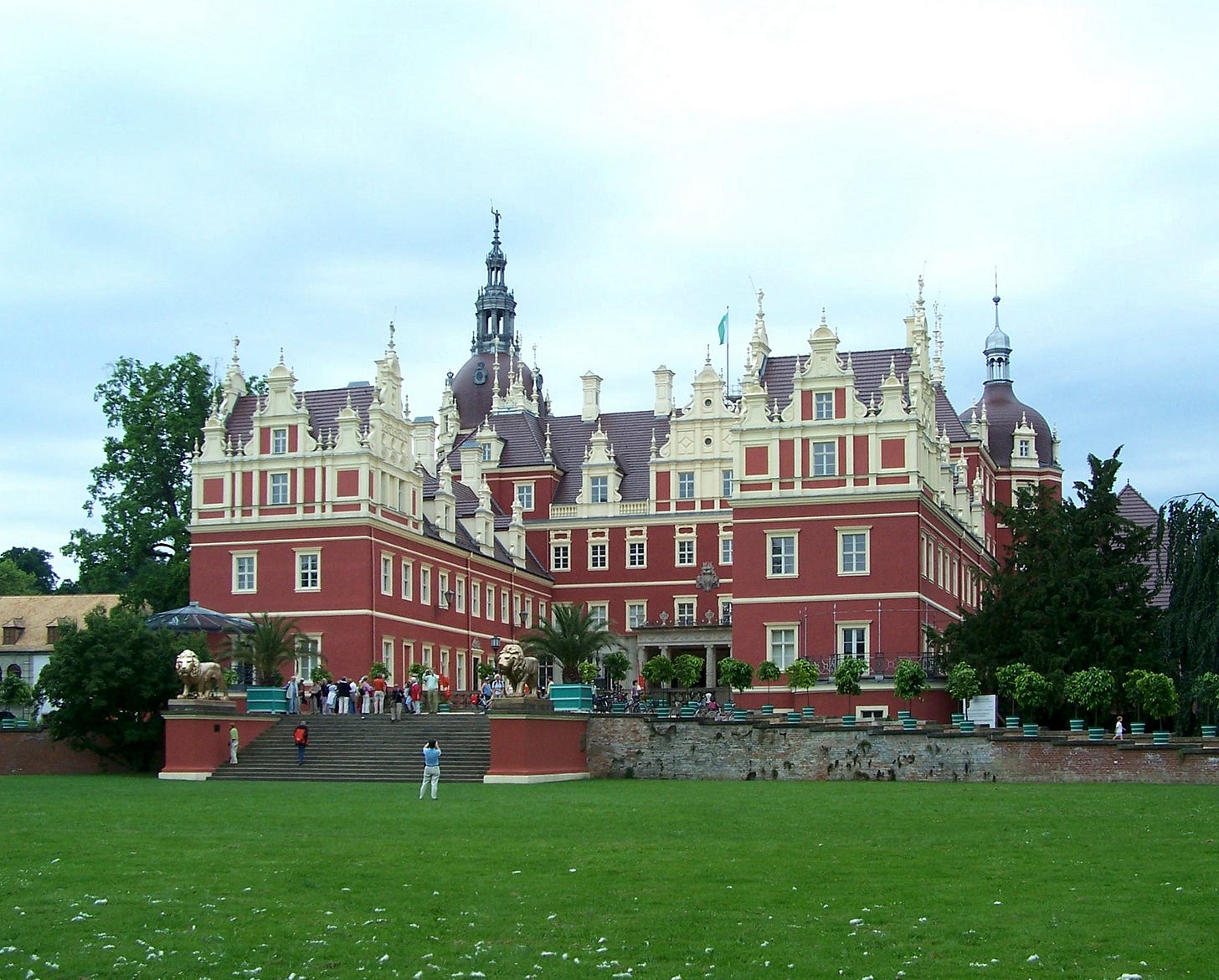
This will be the final part of the Brandenburg section of the E10, crossing the border into Sachsen (Saxony) at Lieskau to stay at the campground at Halbendorf. From Halbendorf the trail turns eastward to the Polish border and thence southward toward Czechia. However, if you are stopping here, there is a rail stop at Schleife, about a kilometer back up-trail and a bit south. Alternately, you can continue on to Bad Muskau, a small but elegant town with a truly opulent castle and gardens on the Polish border, and take the bus to Weißwasser from there.
Sixteenth Night: Burg-Kauper to Cottbus
Route: On MapPedometer. 30km. The overwhelming majority of this stage is going to be through fields and towns, and frequently on asphalt. As you approach the city of Cottbus—notably, the center of the Sorbian-speaking region (a Slavic language native to Germany that looks and sounds like a mixture of Czech and Polish)—you’ll be walking more and more along sidewalks and bike paths. The last approach to the campground is along the river, in some very pleasant urban parks. If you need resupply, there are lots of supermarkets (though I was unable to find any hiking-supply stores in a cursory search).
Camping: Kanu Cottbus. (€13, plus €10 deposit for the restroom key; showers free; possibly open year-round). A surprisingly nice spot to camp on the back lawn of a rowing-sports clubhouse right on the river in the middle of town. Despite the location, it was extremely quiet. There are bathrooms with showers, and a small “camper kitchen” with a water-cooker and cheap beer you buy on the honor system.
Seventeenth Night: Cottbus to Bagenz
Route: On MapPedometer (km 0—18). Most of this section, once you leave the Cottbus city center, is along a tree-lined gravel-surfaced bike path that follows the Spree river southward to this lake. Much of the trail is forested, though you’ll pass through or near a number of villages and settlements along the way. The final approach to Bagenz passes by what appeared to be a DDR-era youth hostel out in the forest, and then along a large levee along a wide clearing (I’m noting the lack of tree cover because I was hiking this section on a hot summer day, and the sun was punishingly hot).
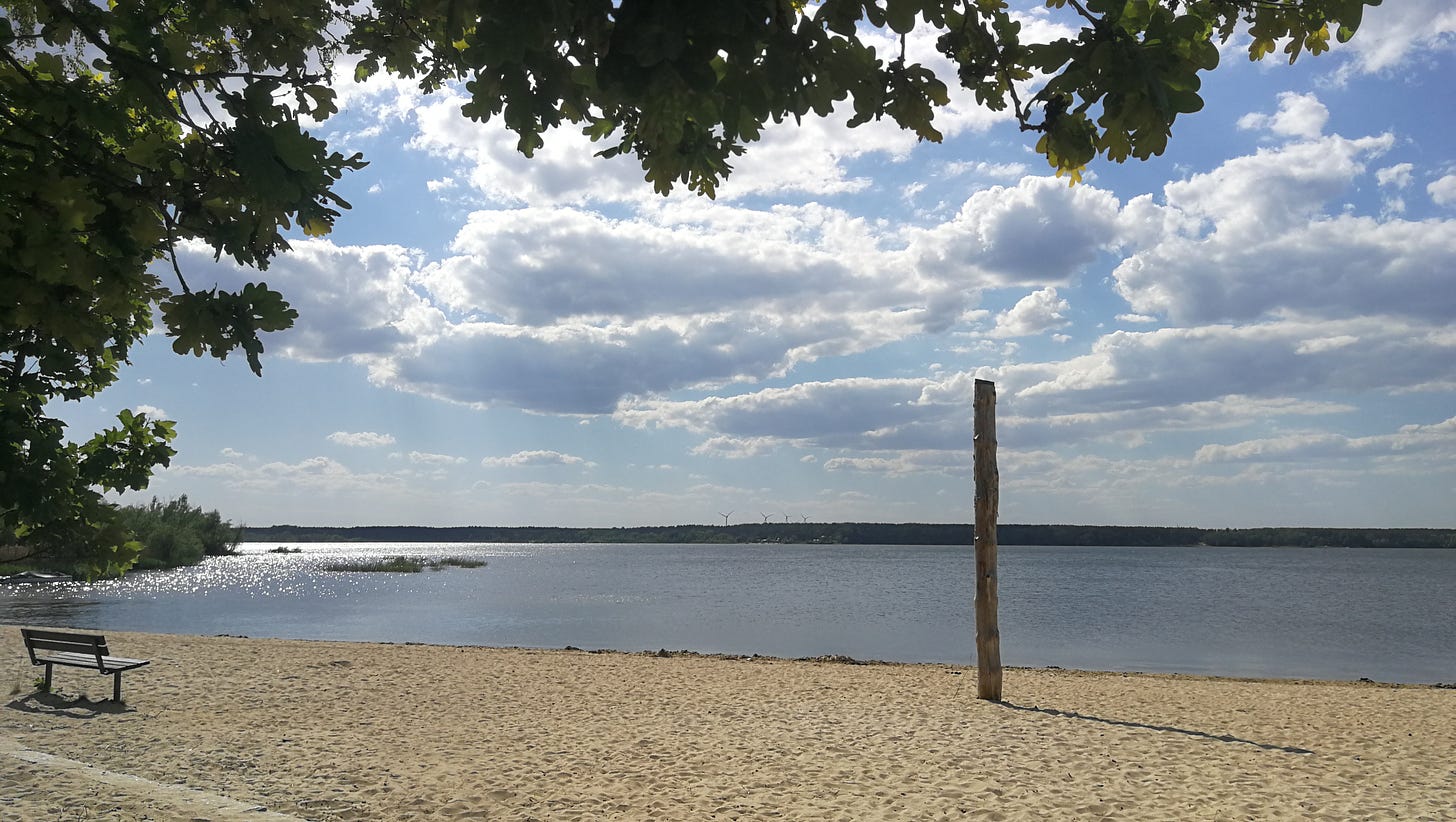
Camping: SpreeCamp Bagenz. (€15; showers require tokens; apparently open year-round). This is a very large campground, mostly made up of cabins and long-term camper trailers. The spot for tents is close to the beach, so be prepared for the ground to be even more sandy than is usual for northern Germany. However, the lake is beautiful, so if you have swimming gear you can spend your afternoon in the water (and if you don’t have swimming gear, the nude beach is a couple hundred meters north, discreetly behind a tree line from the rest of the camp).
Eighteenth Night: Bagenz to Halbendorfer See
Route: On MapPedometer (km 18—50). I started out thinking this was going to be another 20km day, so I was quite tired by the time I reached the campsite. About eight kilometers down-trail from Bagenz you’ll reach Spremberg, which lies along the long ridge of hills that marks the farthest southern extent of the ice-age glaciers. South of Spremberg you’ll make your first real climb of this section, and hereafter you’ll start seeing a lot more elevation change. Leaving town you’ll take a steep set of stairs up to a cemetery with rather striking views of the city (and the Kraftwerk Schwarze Pumpe — “Black Pump Power Plant” — one of the largest and heaviest-polluting coal plants in Europe).
NOTE: At Türkendorf (km 37) the marked trail takes a different route from that on the official one mapped here, which follows the ERA’s map of the trail on Waymarked Trails. I followed the route from the map, but rejoined the trail blazes about a kilometer later, so it’s entirely likely that these blazes mark a routing that can be followed just as well, and will probably be more pleasant than the kilometer of asphalt I followed from the official map.
Camping: Neptun Camp am Halbendorfer See (€10; showers €1; April—October). There is an extensive water park on the lake, as well as several nice beer-gardens nearby. The tent site itself is a small patch of hard-packed ground right next to the main entrance gate; the rest of the grounds are reserved for camper-vans and long-term trailer campers. There is, however, a pleasant beach and a lovely lake.
As this campground is across the border into Saxony, this ends the Brandenburg section of the E10. You can either stop here and the next morning return to Schleife to take a train back, or (what I’d recommend) hike another 15km to Bad Muskau, a truly lovely small town on the Polish border. There are bus connections there to reach the train station at Weißwasser, and the town caters to a lot of tourist traffic and thus has lots of restaurants, guest-houses, hotels, and a truly opulent castle and parklands surrounding the city.
Conclusion
The E10 through Brandenburg is not going to be the most challenging hike in physical terms—the terrain is mostly flat, and you’re never going to be deep in the wilderness—but the varied availability of overnight spots is going to pose its own challenge: some days are going to be very short by necessity, while others are going to require hiking for eight or ten hours at a healthy pace to reach the next available campsite. The quality of the trail itself is also quite varied, as are its markings: you will often have long stretches of asphalt, or sections with no blazes or other signage; other sections will be truly enjoyable foot-paths through what feels like pristine wilderness with very thorough trail markings.
You’re also not going to have the benefit of campsites designed to cater to backpackers: most sites lacked picnic benches or shelters where somebody who didn’t bring chairs with them could sit, and I never came across a site built for hikers using backpacking stoves to cook, except directly on the ground. Complicating matters is that many of the campgrounds listed here are only open in the tourist season, from April or May to October, and if you’re planning a full through-hike of the E10 it’s going to be very difficult to avoid the off-season without running into winter in the Alps. I did manage to find the occasional farmer or innkeeper who wouldn’t mind me putting a tent down on their grounds in the middle of winter, but hiking this section as a whole under such conditions would likely require an entirely different staging, as you’re going to be doing your overnights in other locations.
With those caveats, this guide would provide you with a set of daily stages to hike the trail through Brandenburg as one coherent through-hike. With Berlin, Potsdam, Cottbus, and other smaller cities along the way, you’re going to be able to resupply with relative ease (either by shipping your provisions ahead or by restocking from stores), and you’re never going to be far from transit hubs.
What strikes me about this section, however, much like my experience hiking on Rügen in the late summer of 2023, is that you are very often going to have the feeling of passing through civilization without necessarily being in it. It’s a slightly uncanny feeling to walk through a playground with your backpack and all your gear, and then turn a corner and disappear behind a thicket and wind your way onto a forest trail that continues far out of the city. One of my most consistent feelings hiking along this trail was that I was skirting along the margins of civilization, but then drifting back out into forest or field.
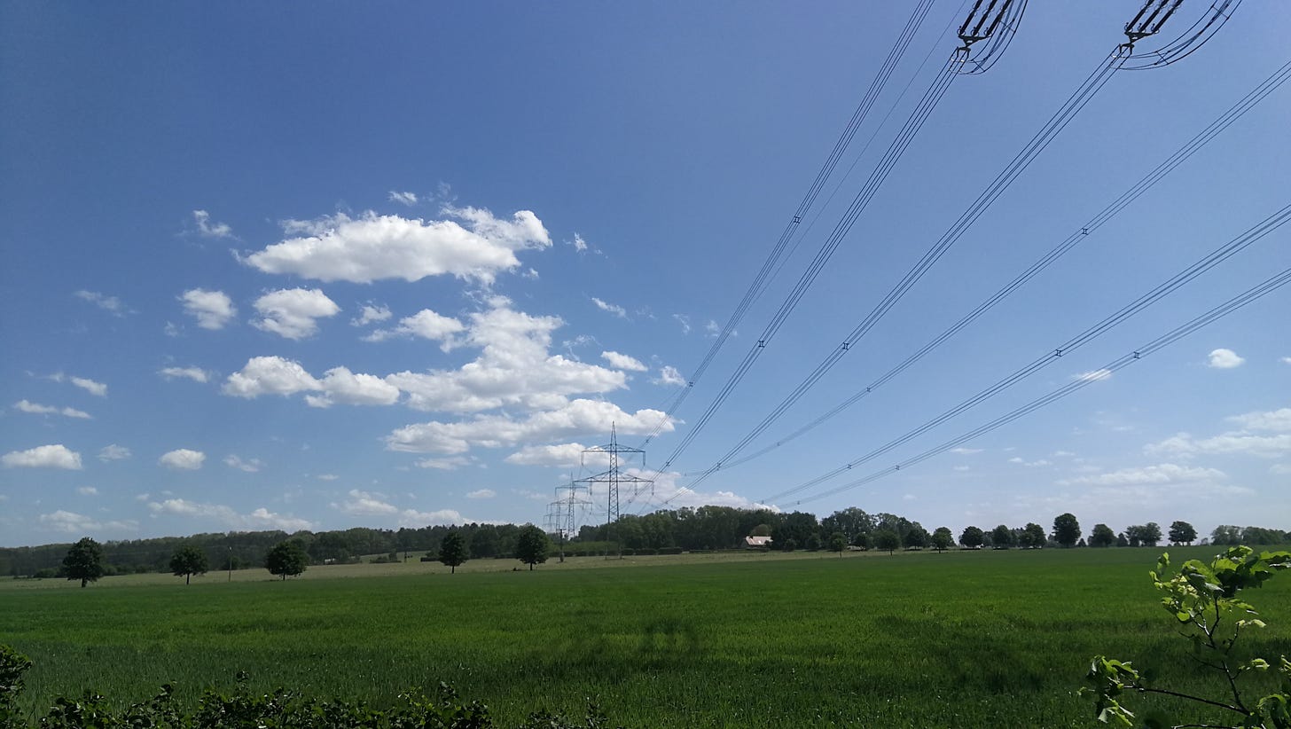
Another aspect that I felt very often was the immense scale of national infrastructure that city-dwellers rarely see first-hand. The long traverses of transmission lines cutting through the forests, or the rail lines arcing across valleys, or the considerable flood-control and waterway infrastructure that crosses the countryside, are all much more present as you’re walking under and around them multiple times a day, day after day, for weeks. I’m accustomed to the countryside passing by in a blur outside the train window as I travel from one city center to another; to walk through it gives you a very different sense of its scale, and a renewed appreciation for just how extensive the modern built environment is.
Looking Forward
I still have at least a couple hundred kilometers to go from Bad Muskau to reach the Czech border heading southward, and likewise another couple hundred northward from Strasen to reach Stralsund. The trail in both directions becomes more difficult to hike as excursions from Berlin: the travel distance means that I’m going to spend at least half a day getting to the trailhead, and longer to get back. In the south the campsites are much sparser (in particular there’s one last set of campsites past Bad Muskau, and then almost 40km with nothing available), though in the north it seems like there are quite a few options.
But once I figure out how to do those sections (I also want to upgrade my sleeping bag, because it’s nearly thirty years old and too bulky and heavy for this), at the pace I’m now capable of maintaining it won’t be long before I run out of the E10 in Germany. From there, with any luck my Czech will be good enough that I can continue into Czechia and make my way there, but each new country is going to bring its own challenges: once I pass into Austria, the situation is likely to be much like Germany, with few official campsites, and no wild camping allowed. I have no idea how to figure out campsites in Czechia, but the OpenCamping map suggests there are a lot of options along the trail, so it will hopefully be less complicated. Once I cross into the Alps south of Salzburg, I’m hoping there will be alpine shelters I can use as I make the final stages into Italy.
All of that is still very far ahead of me. It’s a very long road ahead, but as exhausting as it’s been (and I have to admit, at times extremely frustrating and discouraging), it is at least my hope that my own experiences can help ease the journey for any future through-hikers, so that we can some day use these trails as they were meant to be used: crossing from one country to another, across countless different ecosystems and nations, to experience the European continent in all its immense diversity, with all the challenges that may entail, and all the rewards it offers to those willing to undertake them.

