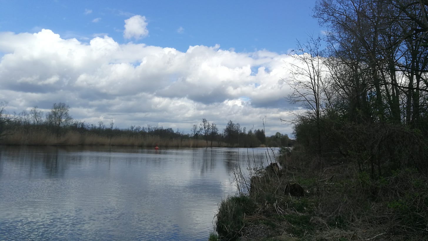
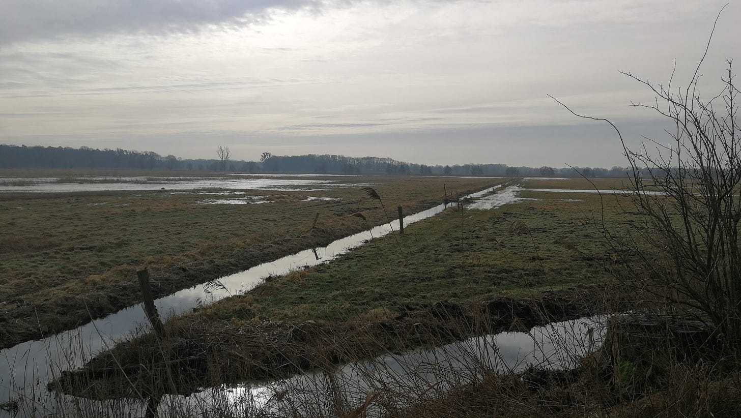
Through-Hiker's Guide to the E10: Brandenburg Section Part 1, Großmenow to Potsdam
Essential information for through-hiking the E10, with daily stages.
General Remarks
This guide assumes that you are proceeding southbound along the E10, from its northern terminus at Kap Arkona on the Baltic Sea and hiking toward the Italian Alps. However, if you want to hike just the Brandenburg section, transit options at either end are provided.
This guide is for the eastern-branch variant of the E10, which passes through Fürstenberg an der Havel and Oranienburg before rejoining the western branch just north of Brieselang. It’s a bit longer, and closer to towns, than the western branch (which I have not [yet] surveyed).
Prices for campgrounds are for a single adult hiker with a small tent, usually include all facilities (some variation on whether you pay for showers, or whether there’s a laundry), and accurate at the time of writing. See the linked websites for updated price-lists.
The Brandenburg Section
Length: approximately 365 kilometers.
Stages: Eighteen.
Getting to the Trail
For the first day, I’d recommend arriving at the first campsite via transit. Travel to Berlin, and from there take the RE5 (regional rail) from Berlin to Fürstenberg an der Havel (you can check rail schedules at bahn.de; the trip takes about an hour). From Fürstenberg, you’ll need to take a “bus on call” service: this is a local bus that only runs if you call ninety minutes in advance to arrange for it. At the time of writing, the number is 03306/2307; you can also check this route at the local transit service’s site.
First Night: Arrival at Großmenow
Take the bus from Fürstenberg to Großmenow (six stops, about 16 minutes). Walk down the road westward from the center of town about 500 meters to reach NaturCamping am Ellbogensee.
They’re open from April to October. Price: €11,30.
Second Night: Großmenow to Fürstenberg
From Großmenow you’ll be hiking first southward along several lakes, before turning back northward at the twin villages of Neuglobsow/Dagow to hike toward Furstenberg an der Havel.
Route: On MapPedometer. 22.5km to Wilde Heimat; 20.5km to the Wasserwanderrastplatz in the Fürstenberg center.
Camping: You can stay at Wilde Heimat (April—October; €14,50). Or, there is a Wasserwanderrastplatz (semi-public bivouac site; year-round; €0,50 to use restroom) at 20.5km, in the center of town just behind the church. If you use the latter option, add 2km to the next day’s stage.
Third Night: Fürstenberg to Dannenwalde
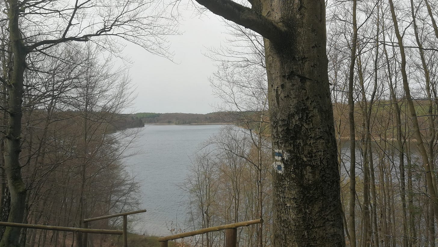
From Fürstenberg, or from Wilde Heimat, you first run eastward through forest alone the Stolpsee, before turning south along the Havel to reach Bredereiche, then across several farmers’ fields, and through forest again to reach Dannenwalde. The campsite is a couple kilometers outside of town, at the village of Seilershof on a lake. I should note that the entire section of the E10 from Fürstenberg to Bredereiche is extremely well marked, with blazes about every 20m, making it almost impossible to lose the trail. After that, it gets more difficult. The trail passes directly by several other campgrounds and bivouac sites, but I didn’t check them.
Route: On MapPedometer. 22.1km from Wilde Heimat (add 2km if coming from Fürstenberg).
Camping: Camping Seilershof. (April—October; €15). You’re given a key for the restroom and a small roll of toilet paper. Shower is hot and there’s a separate basin in the wash-house for hand-washing laundry).
Fourth Night: Dannenwalde to Zehdenick
Returning to the trail at Dannenwalde, you’ll pass through the small towns of Ringsleben and Tornow, before turning southward through the remains of the massive brickyard complexes along the Havel between Turnow and Zehdenick. The trail follows narrow spits between marshlands that filled in the abandoned clay mines, and will cross the complex of ovens and railyards comprising just one of the enormous brickworks that cover this part of the landscape. As with the previous day, there are a number of other campsites along the route. When you reach the southern end of Zehdenick, the historic water tower looms over the landscape and marks your campsite.
Route: On MapPedometer. 26.5km.
Camping: Muddi’s Turm-Lounge. (April—October; €19,50 [note: this was the price quoted in email and what I paid; the website is out of date]).
Fifth Night: Zehdenick to Oranienburg
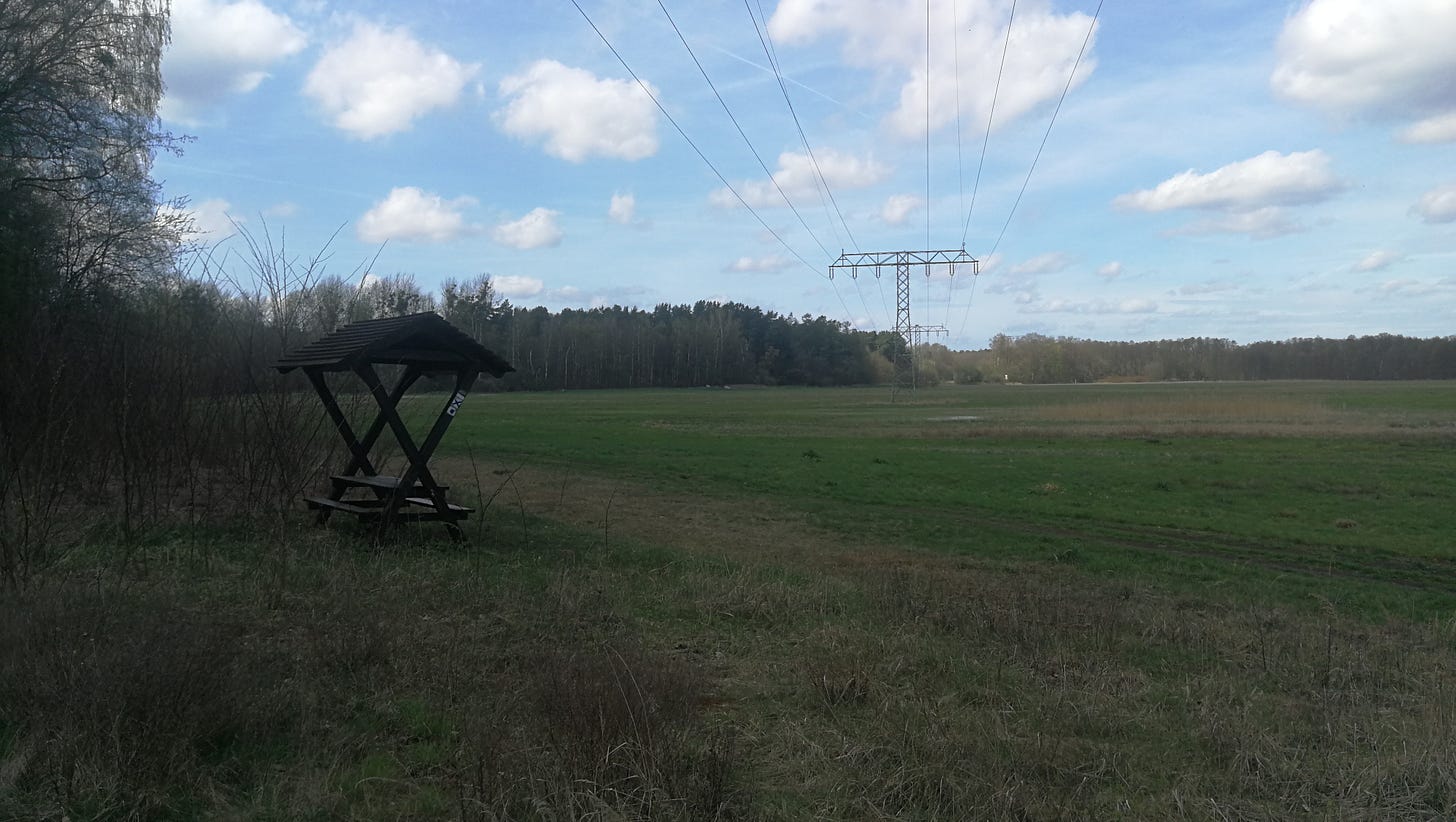
From Zehdenick you’re crossing mostly through farmland and rural environments, and a couple large wind farms. There are several equestrian centers around as well, so expect to meet riders on the trail. The trail for this section is also not really marked, so you’re going to need a map to find your way down mostly roads. However, the final approach to Oranienburg is quite a lovely riverside path.
Route: On MapPedometer. 31.9km.
Camping: The overnight given here is an unmarked Wasserwanderrastplatz (on the map it’s shown as bicycle parking) directly across the river from the memorial site for the Klinkerhafen concentration camp. There’s a sign 200m south of the campsite indicating that it’s a designated as such, but there are no facilities besides a covered shelter.
Sixth Night: Oranienburg to Hennigsdorf
The first section of trail is through a very quiet forest, but before long you are entering into the greater Berlin metropolitan area, and will be crossing under highways, through neighborhoods, and increasingly urban environments.
Route: On MapPedometer. 24km.
Camping: I was unable to find any possibility for an overnight here. This is one of the sections where I’m going to try working with park authorities to place one, because the only alternative is to take a train into Berlin and stay at a hostel.
The one other possibility I could find would be to hike approximately 8km south from Hennigsdorf along the Uferpromenade trail, and then take the Briese-Spandau trail farther down the west bank to the Bürgerablage campsite just inside Berlin city limits. As this is a significant deviation off-trail, I did not include it.
Seventh Night: Hennigsdorf to Brieselang
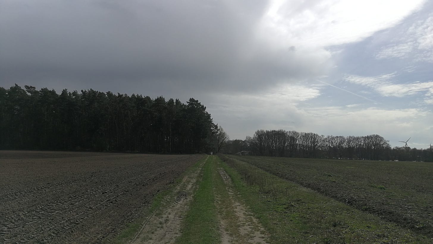
Departing Hennigsdorf you’ll first pass through an extensive forestry plantation, past the locks at Schönwalde, and then across several very expansive fields before rejoining the western branch of the E10 as it comes south from Perwenitz and Tietzow.
Route: On MapPedometer. 25km.
Camping: As with Hennigsdorf, the options aren’t great. The only campsite anywhere around is Camping am Havelkanal, which seems exclusively dedicated to RVs. It might be possible to get permission to put a tent down in some open space in the back, but I haven’t checked. This is another stage where I’d like to set up something more suitable for through-hikers.
Eighth Night: Brieselang to Ketzin
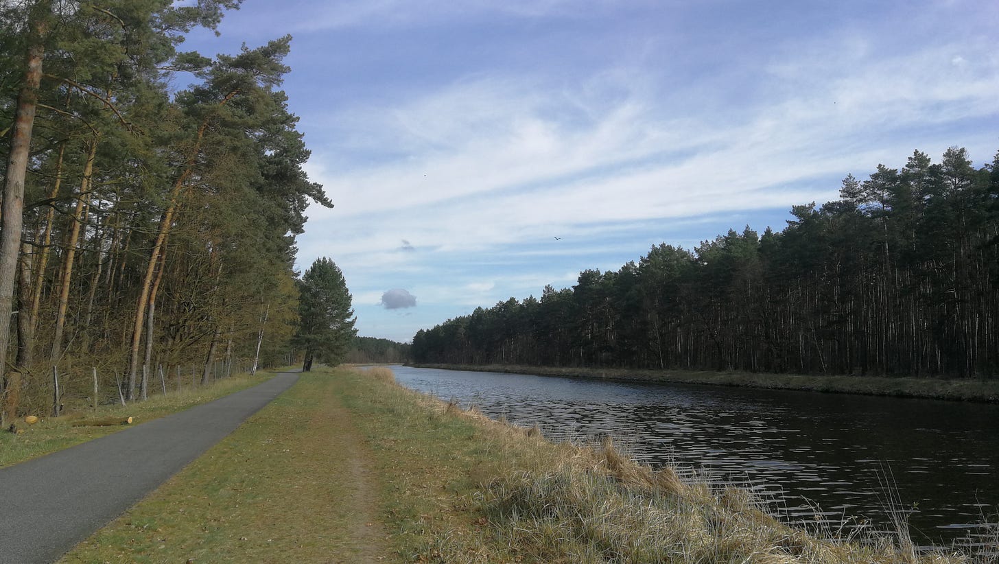
From Brieselang the trail runs almost entirely along an access road along the Havel Canal, almost completely straight and level. You’ll have to cross from one bank to the other at a couple points (when I hiked it a construction site blocked me, so I ended up crossing over a rail bridge, right as a train was passing at full speed).
Route: On MapPedometer. As of this writing, a construction site on the west bank of the canal is blocking MapPedometer’s route, so that link is actually two separate ones. 18km.
Camping: There are several sites at Ketzin that are marked as campgrounds, but the most promising is the Ketziner Havelstrand, a bivouac site for canoe and foot traffic. €4, open May through September.
Note: although this stage is much shorter, there are a couple reasons why. First, to cross the Havel you’ll need to take the ferry, and it’s possible the ferry won’t be running the day you arrive. There are no other possible crossings anywhere nearby, and if it’s a Sunday there likely also won’t be any buses running. Since the Havelstrand is a pleasant spot to stop anyway, you might as well stop here. Second, the next stage is a rather long one to the next campsite, so this is a good opportunity to take an easy day.
Ninth Night: Ketzin to Potsdam
Once you take the ferry across the Havel, you’ll first hike a long straight farm road between fields, before passing an equestrian center and entering the village of Phöben. From here, you ascend one of the few real heights along this section, giving an excellent view of the river below. You then descend to a golf course, and then along a different branch of the Havel before ascending again to the Bismarkhöhe, an opulent historical ballroom and beer-garden overlooking the city that is advertised by the city as in operation, but which looked drearily abandoned when I went hiking through in January.
From there, you descend to a rail bridge to cross over into the Potsdam Wildpark West, a large forest with the trail running parallel to the rail line. You’ll deviate about 2km southwest from the city to reach the campground.
Route: On MapPedometer. 25km.
Camping: Campingpark Sanssouci. (either €21,30 or €27,90, depending on whether it’s tourist season). I did not stay here, as it’s quite expensive and seems geared more toward wealthy tourists. I’m going to ask about a bivouac site somewhere nearby, though, and will update accordingly. Another option is the Campingplatz Himmelreich, another couple kilometers southwest across a rail bridge to the village of Caputh (about €11 depending on the size of your tent).
Note: for whatever reason, the section of trail from Ketzin to where the trail drops onto a city road outside of Potsdam is exceedingly well marked, with trail-marking badges on posts, and blazes on trees, almost every 20m.
To be continued in Part 2.


