Ever since my hike in December, when my toes got such bad blisters that they forced me off the trail on my second day, I’d been feeling really frustrated. How could I ever build my hiking hobby into something more substantial, tackling more difficult hikes, if anything really involved would wreck my feet after only a day or two? I was despairing that I’d never be able to do more than day-hikes, forever thwarted by my body’s own limitations.
But it turned out the problem was that my feet, because I normally wear sandals or toe-shoes, have spread out quite a bit over the years, and “normal” boots crush all the toes together in a way that causes a lot of blisters and other discomfort. In the years since I last did any major hikes, a number of footwear makers have started using “natural” profiles for their shoes, and so I ended up trying one—the Topo Athletic “Pursuit,” which is more a trail-runner than a hiking boot, but one recommended by a lot of through-hikers—to see if that would help. This was going to be the shoes’ first real test: if I go back to the E10 and hike another forty kilometers on it with a full pack, would my feet hold up?
The plan was to hike about halfway down and camp at an inn where the innkeeper said he wouldn’t mind, and then hike the rest the next day. These were different overnights than I’d planned in December, both because I was starting right near one of my previously planned overnights and thus wouldn’t use it, and because I hadn’t found this inn yet.
Starting Out
All of my hikes down the E10 for the last few sections have used the same regional rail connection to reach the trailheads, so I took the S-Bahn out to the transfer and got to see a lovely sunrise waiting for the regional train. Since Schlepzig is too small for a rail stop, I transferred to a bus at “Brand Tropical Islands,” one of those indoor-outdoor water parks built inside what looks like a giant blimp hangar.
From there, I’m hiking mostly along the canals and overflow lakes that form an extensive network of flood-control and irrigation systems for the region. This part of Germany is all sandy marshland, barely above the water-table, and thus prone to flooding; this is also part of my rationale for doing this hike now, while the ground is still frozen: once it thaws, the ground is going to be sludge for a few months, until warmer weather can dry it out. This was my last weekend to pitch a tent on solid ground until maybe late March, so I wanted to take the opportunity while I could.
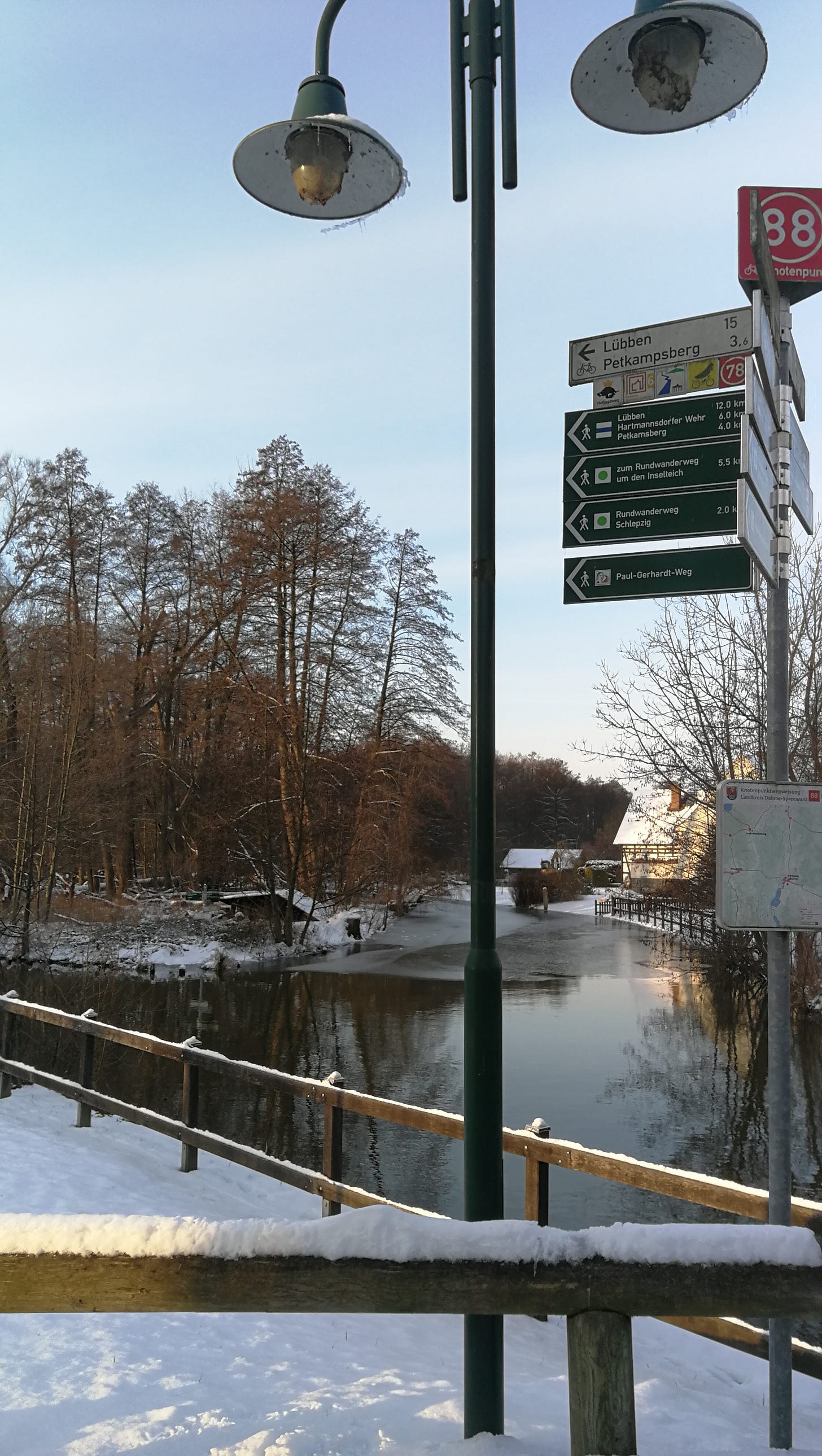
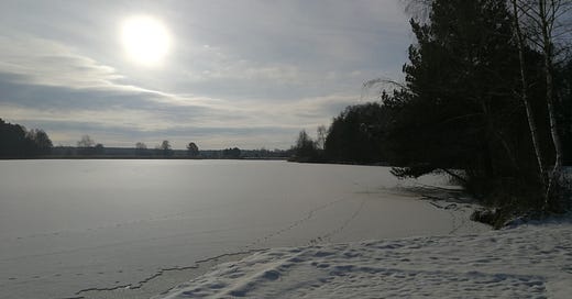
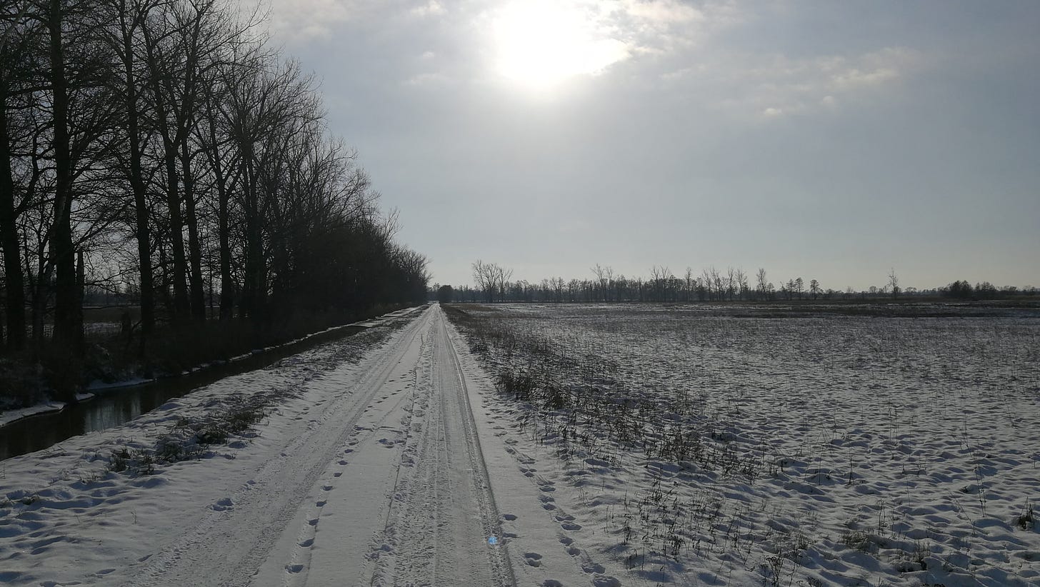
As soon as I’m out of town and into the countryside, I’m walking along bike paths and embankments along lakes and canals, all of which have frozen over and acquired a blanket of snow. The wide-open expanses get swept by the wind, giving me an endless procession of austere, peaceful scenery. It’s difficult to get a sense from the pictures how each of these feels slightly different, making them all beautiful to look at, and not at all monotonous.

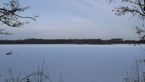
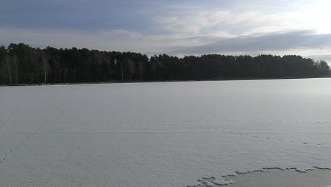
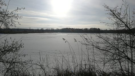

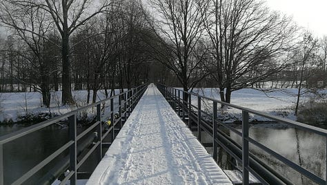
By mid-morning I’m passing through the town of Lübben, the largest settlement on my hike today, and it’s here that I come across a recurring feature of the E10 that is one of the few things I might think to criticize.
One the south-east end of town, as I’m leaving the settlement and heading back out into the countryside, there’s a split in the trail: a small footpath splits off the main trail, and follows the canal along a treeline through the country, while the main trail continues along a road. I can’t, for the life of me, imagine why it would be preferable to have a hiker, even one on a bike or in a wheelchair, continue along a road with no sidewalk, and not along a footpath between trees and a canal. The latter only added maybe half a kilometer to the distance to the next town, and would be, at least to me, far more pleasant a view, and safer, and easier on my feet.


I suppose this is due to these paths not originally being conceived as hiking trails, but more as walking routes; and I can certainly understand that it’s not always feasible to carve out a new trail just to get away from them. But in this case, there was already a trail right there, and I would think it would be preferable in every way to have people walking along that rather than down a paved road.
Midday: Lunch at Bukoiza
I do eventually join those canal paths, hiking straight along them until I reach what was going to be the end of the day’s hiking, an inn at Bukoiza. However, I’ve reached this turn-off before 13:00, and if I were to stop here for the day, I’d have at good four or five hours of daylight still, during which I’d be sitting in the inn’s backyard, with nothing to do until the sun went down at 17:00 (when I would then make my dinner and go to bed). It seemed like an unproductive way to spend my day, despite how beautiful it was outside.
So instead, I ate my lunch, and chatted with a couple I’d met at the earlier split from the canal path who’d now caught up with me. I talked a bit about this hiking project, and mentioned my hike in September on Rügen. It turned out they knew Rügen very well, owning a sailboat there that they took out for trips around the island in the summer.
They, too, agreed that it was silly to end my day so early, so after finishing my lunch (an energy-ball, the recipe for which I posted in an earlier blog entry) and drinking some water, I decided I would try to push all the way to Burg, completing the entire forty-kilometer hike in one day. This would also put my shoes through a real test, seeing if my feet would accumulate any blisters or other injuries under an extended punishment.
Pushing toward Burg
From here, it’s not much farther to Lübbenau, and from there I’m hiking along a canal path all the way to Leipe (a small island village) for a couple hours. This whole section of trail is full of people, but it’s a lovely forest walk with canals and lakes and rivers and swamps everywhere.
However, by this point the sun is also starting to set, and by the time I reach Leipe the shadows are long, and the light is failing. I begin to worry that I’d be hiking in the dark, which isn’t worrying in itself (I have a headlamp), but on unfamiliar trail in cold weather I wouldn’t want to lose my way. Also, while my feet are fine, my hips and knees are starting to feel the accumulated distance, and so once I leave Leipe I turn off the trail, heading instead directly south to the village of Raddusch where there’s a rail stop. It’s five kilometers instead of ten, but even so it’s dark by the time I reach the edge of the village. The sunset was gorgeous—about an hour of brilliant, pale colors—but I’m hurrying as best I can at this point and didn’t stop for pictures.
On the edge of town, I manage to catch a ride from a nice lady and her dog, and reach the rail stop just before the train stops and takes me back home. I have a bunch of video I’ll be editing and posting, but I think this is the last section I can hike before the campgrounds open back up in March. From Leipe to Cottbus there aren’t any open campsites, and the weather will be too warm to escape camping in mud.
I’m glad I was able to finish this section of trail, though. Despite the sameness of the terrain it was incredibly varied, with so much beautiful winter scenery I would have regretted missing it. I’ve been inspired by all the hikers posting their warm-ups to start hiking the Appalachian Trail this year, as the hiking season gets underway, and now I’m really looking forward to some of the other hikes I have planned. Now that I know my feet can hold up, I feel like nothing will stop me from getting there.
UPDATE: The video is now posted to Youtube:

