Section Hike: E10, Kap Arkona → Stralsund, Overview
Hiking along the Baltic coast on the Island of Rügen
Last week I did a test hike of the E10, starting from its northern terminus at Kap Arkona and hiking 120km to Stralsund. The goal was firstly to test whether the route was the kind of terrain and trail that could be through-hiked over longer distances, and secondly to see whether I could find enough suitable overnight spots and shops to sustain a through-hike (in particular, whether I could buy food and fuel along the way).
I’m going to be writing a few essays about different aspects of the hike, and this one will serve as an introduction to the project and a general overview.
Hiking Gear
When I started hiking on my own, the kind of trip I most wanted to do was in the mountains in winter. For this, I bought an Osprey Xenith eighty-liter backpack. It was, at the time, the top-of-the-line pack for carrying large, heavy loads and was built for exactly the kind of “expedition” hikes I wanted to do. For winter hikes, where I’m carrying a lot of bulky extra clothing, maybe all my water, and a larger, heavier tent, it worked great. Twenty-five years later, though, while the pack itself is still in great shape, it’s not only overkill for long-distance hiking, but its weight (over 3kg, just for the pack itself) is far too much, and ends up being a hindrance. Every time I’ve taken it hiking over the last two years, people I meet along the trail have told me it’s simply too bulky for hiking a long-distance trail, and I’ve come back home with some kind of injuries on my feet.
And so, with no small amount of sentimentality, I suspect that this hike is going to be the last long-distance hike for which I use this pack. I have no doubt I’ll still take it for weekend hikes in the winter; but for longer hikes like the E10, or even the Forststeig (where I hiked last Fall, and where I’ll be hiking again in about a month), I’ve upgraded to an Osprey Exos fifty-eight-liter lightweight pack. I’d had my eye on it for over a year, and it’s going to be delivered next week. The lessons of the last week, more than anything else, made clear that I need to reduce my weight.
Overnights
One of my biggest concerns in preparing for this hike was that this was going to be the first time hiking outside of a park with designated camping spots. My two major hikes last year — in Urho-Kekkonen National Park in Finland on the summer solstice, and the Forststeig for the Autumn Equinox — were in parks where I could set up at sites with a shelter, water supply, fire pit, camp toilet, and the usual outdoor amenities. This trip, however, was through regular countryside, with the added difficulty that “wild” camping isn’t permitted in most places in Germany. So I planned either to camp at private campgrounds, or ask private landowners (in both cases, farms) if I could set up a tent on their grounds for a night.
That part turned out to work surprisingly well, though the campgrounds were more for people setting up a camper-van (an RV or trailer, or otherwise setting up out of their cars). There were a few difficulties, which I’ll talk about on the individual stages.
Route
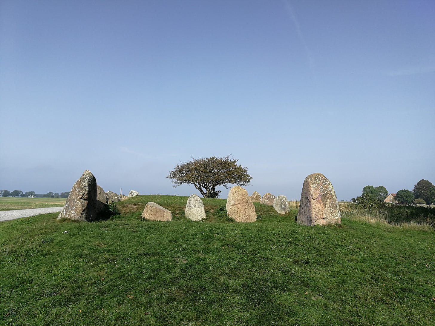
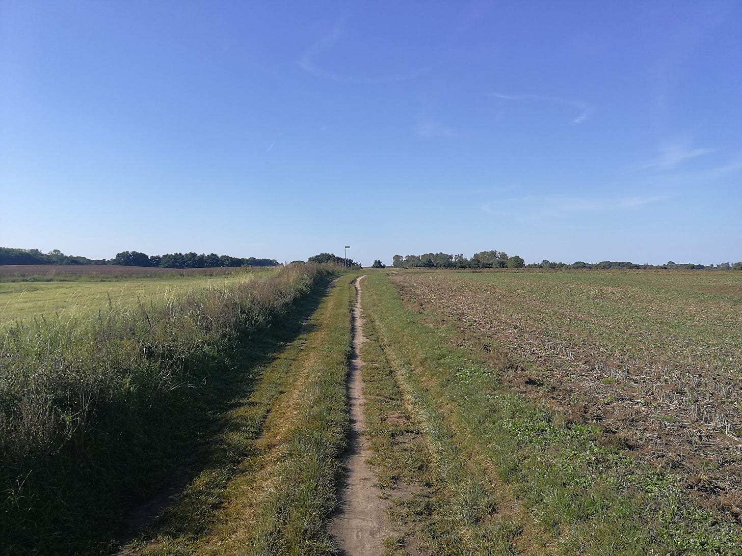
The E10 runs along the eastern coast of Rügen, turning inland at a couple sections but mostly within sight of the sea. I’ve traced out the E10 over on OutdoorActive.
However, that’s not exactly the route I ended up taking, as you’ll see from the individual stages:
Day One: https://www.mappedometer.com/?maproute=944833
Day Two: https://www.mappedometer.com/?maproute=944834
Day Three: https://www.mappedometer.com/?maproute=944835
Day Four: https://www.mappedometer.com/?maproute=944836
Day Five: https://www.mappedometer.com/?maproute=944830
Day Six: https://www.mappedometer.com/?maproute=944831
Day Seven: https://www.mappedometer.com/?maproute=944838
I needed an overnight on the fifth day, as the section from Altkamp to Prosnitz (where I was planning to camp on the grounds of a hotel) would have otherwise been too long; so instead, I added a day and took a detour off the E10, to a campground right on the beach: the “Naturcampingplatz Pritzwald.”
Media
One last word, before I get to the individual sections: I had planned to take photos and videos of the hike as I went along; and while the photos worked fine, I made a mistake with the action-camera I was using, and while the video looks fine, there’s no audio to it. So I’m going to be doing a lot of video editing and voiceover work so that the videos aren’t just ten minutes of silence.
With those caveats and preliminaries in mind, let’s get underway. I’ll link articles for the individual stages below, as I finish them.


