Section Hike: E10, Kap Arkona → Stralsund, Day Two
Hiking along the Baltic coast on the Island of Rügen
The campsite where I stayed the first night had a bath-house, so I was washed up properly in the morning. Breakfast was a couple of the Fandabi Bannocks I’d made based off a youtuber who specializes in traditional Scottish fieldcraft. His normal variant used suet, but he suggested coconut oil as an alternative; it turned out that the coconut oil doesn’t hold together nearly as well, so I wanted to eat these quickly before they turned to a heap of dust in my pack.
Today was going to be my first full day hiking, first along the long isthmus—called the Schaabe, a 12km bay bar—connecting this tied island (Wittow) to the next one (Jasmund), and then down the western coast of that island to a campground just before the bridge to the main island. The route is here. This first section down the Schaabe is a forest road that runs mostly straight along the edge of a coastal pine forest, close to the water’s edge. For reasons I’m sure an ecologist familiar with the area could explain, the forest is filled with spiderwebs. So many spiderwebs. There are a few clips of video I shot along the way, and you can see in the footage that the camera is constantly stopping and jerking back as I walk into one spiderweb after another. I should also not neglect to mention that this part of the forest had some really splendid slugs, deep black and quite large, that I kept finding making their way across the forest floor.

But from time to time, the trail narrows into a footpath, bending out toward the water, and I come out from under the tree cover and am hiking through grasses or alongside marshland. It’s beautiful country: it’s not a very deep wilderness far from civilization, but it was far enough away that the noise of traffic along the one road running down the isthmus was rarely audible, and otherwise the only sound was from the inland waters gently lapping at the shore and the wind through the trees and grass.
I very much regret that I didn’t record any of the audio from my camera, but I hope the visuals are enough to give an idea of the surroundings:
(I should also mention, as I start adding more video, that it turns out to be extremely difficult to keep my camera, mounted on my shoulder strap, both level with the horizon and pointed forward correctly)
This is one of the most rewarding parts of hiking along this section of trail: in a landscape that the one guidebook1 I have for the E-Paths describes as “abwechslungsreich” (literally, “rich in change/variety”), I frequently change between forest roads and rough seaside paths, or crossing fields, or alongside marshes.
However, as predicted by the weather report (and as you can see threatening in that video), shortly after this point I was struck by a torrential rainstorm that completely soaked me, running water down into my boots and forcing me to pack my camera back into its bag inside my pack. My next clear weather was at the joint where this isthmus joins the next tied island, with the town of Saßnitz and the Nationalpark Jasmund on the other side. I stopped for lunch to let me and my pack dry out.

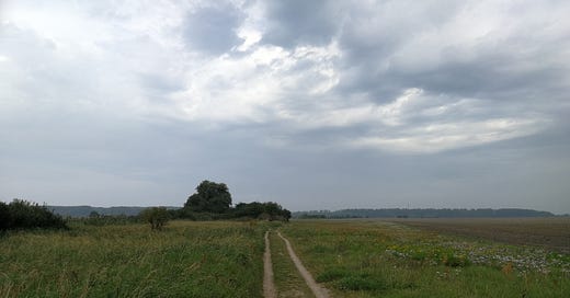
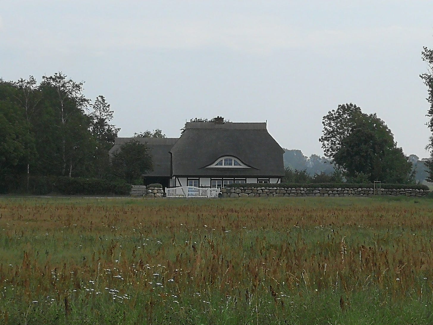
The country along this stretch is now mostly farmland, alongside the villages of Polchow and Sagard. No longer hugging the coast, I’m hiking under wide-open skies, with broad fields dotted by farmhouses and treelines. It’s here that I first come across one of the most charming features of Rügen: the traditional thatched-roof architecture many of the houses use.
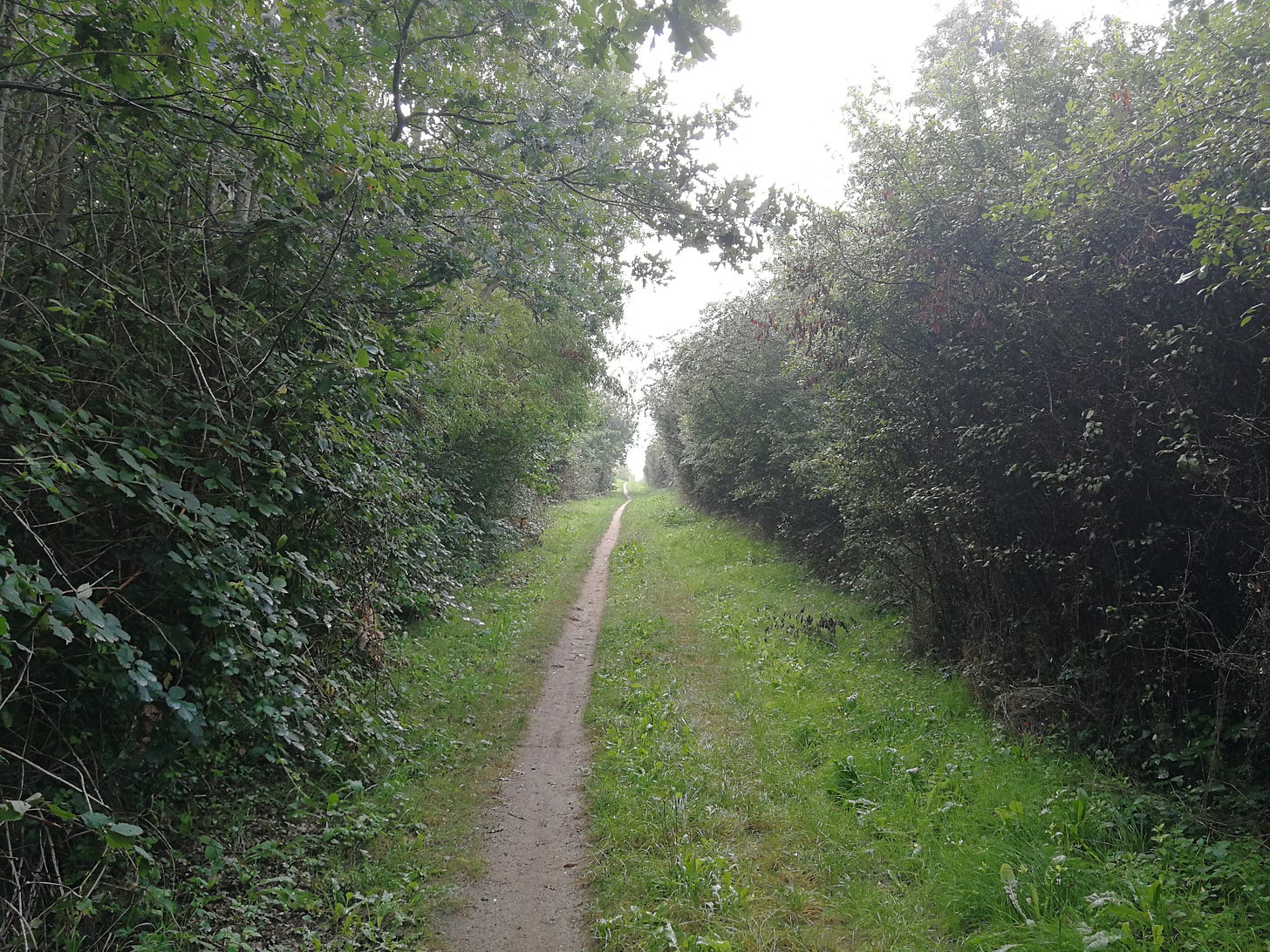
I’m hiking mostly along a village road here, alongside holiday houses and bike paths, but then the trail again does something that I came to love about hiking this route: the road comes to an end, but tucked into the corner of the cul-de-sac is a footpath with a trail-marker, disappearing into the brush, and as soon as I leave the road I’m isolated inside a treeline, hidden from everything.
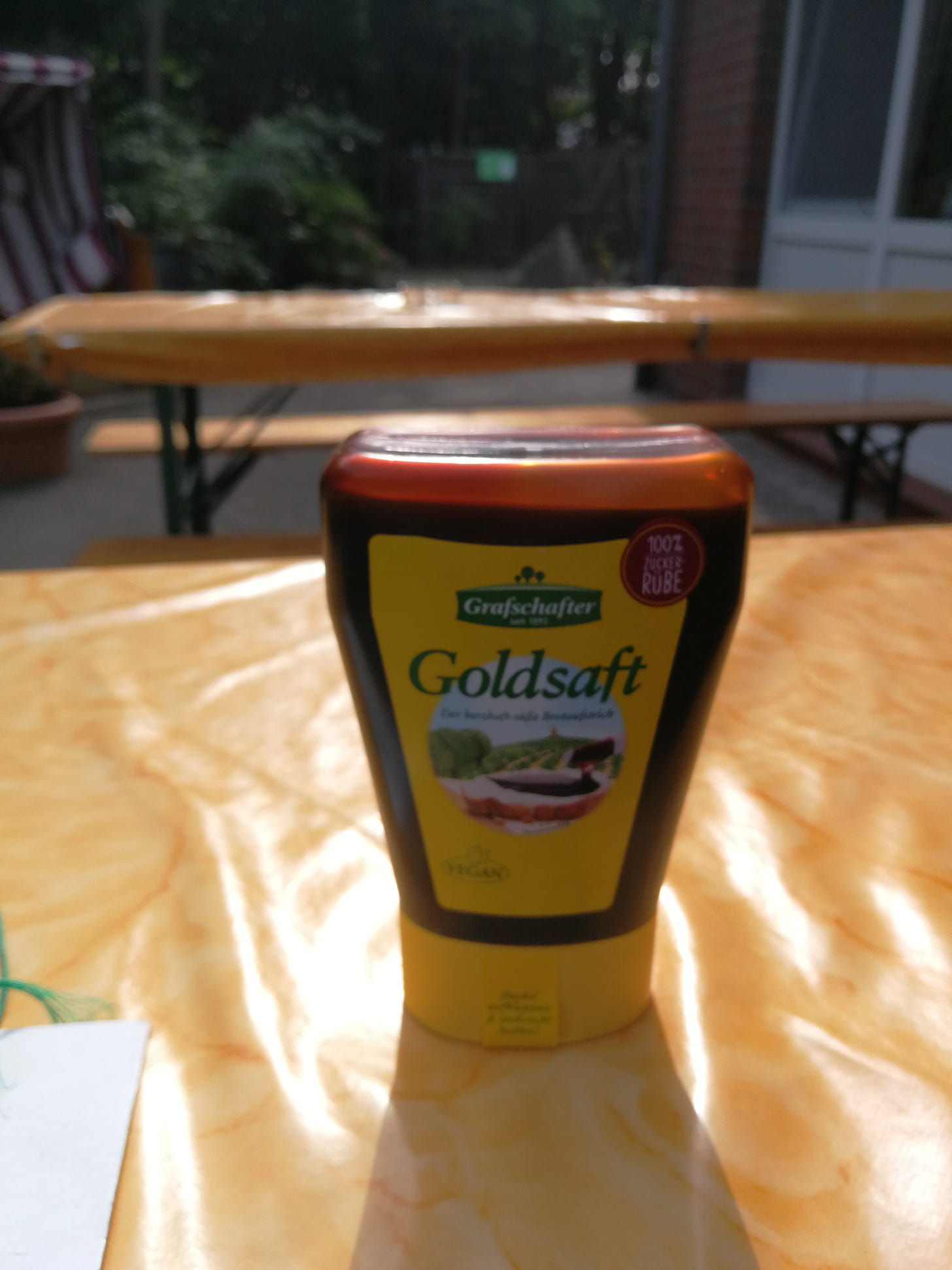
There’s something almost mystical to me about these departures, as they remind me that my hike is mostly skirting the edge of civilization, not really traveling through it the way most people do, and seeing parts of the landscape that otherwise remain out of sight. After ducking in and out of this treeline or back out along roads, eventually I pass into a small forest, walking in the shade. It this point I’m getting quite tired—it’s been over 20km since the campground at Juliusruh—and so I take a side-trail that cuts across the forest eastward and heads directly to the next campground: the “Störtebeker Camp,” named after the brewery in the area. When I arrive, the manager hands me a complimentary bottle of sugarbeet molasses, which I naturally accept and carry for all the rest of my trip like a big dummy.
Dinner was one of the instant-noodle packets I got from the drugstore, plus a bottle of Störtebeker Pilsener. This campground (unlike the others I visited along the way) also had free showers, so I gratefully took my only chance for a hot shower and then headed to bed.

That was my second day. The hike from here out starts to get more difficult, as the heavy pack takes a toll on my feet, and the weather continues to be unforgiving. The next couple days ended up being quite hard, with today and tomorrow making back-to-back 20km+ hikes. But for now, I’m happy to enjoy a beer and get some sleep.
This is “Auf Tour in Europa: Das Handbuch für die Europäischen Fernwanderwege” by Hans Jürgen Gorges, published by Kompass in 2002 and now out of print but available from used booksellers. A second edition, I am told, is planned. This edition, I should note, gives a now-obsolete route for the E10 on this next section, having it cross over the tied island past this isthmus to reach the Jasmund Nationalpark and Saßnitz, the ferry terminal for boats to Finland and the start of a pilgrimage trail that I’ll join on the third day.


