Through-Hiker's Guide to the E10: Brandenburg Section Part 2, Potsdam to Burg-Kauper
Essential information for through-hiking the E10, with daily stages.
General Remarks
It is important at the outset to note, that aside from one stage of the trail at Märkisch Buchholz, I did not camp along this portion of the trail. These stages I did as individual day-hikes in the summer of 2023, before I was seriously through-hiking the trail over multiple overnights. Consequently, I won’t be able to write with first-hand experience of each campsite I’m linking here, and can only offer a link to what seems the most promising.
The caveats given in Part 1 also apply here: I am assuming you are through-hiking the E10, that you (more or less) know how to do that and are properly equipped, and that you are able to compensate for the relatively flat terrain by covering a healthy distance for each stage.
It’s also worth noting, that for the one section where I did spend an overnight, I did so in the winter. My overnight options in the winter season were significantly limited, as most campgrounds are closed from October to May. So my recommendations for some overnights are going to be what I found available when most places weren’t open. Hikers in the regular summer months will have an easier time, and I’ll provide links to alternatives.
Getting to the Trail
It’s convenient to split the Brandenburg section at Potsdam, as the city has plenty of hotels, hostels, and transit options (not to mention a lovely palace garden and some museums that are worth visiting). If you want to take a day or two off to stop here, it’s worthwhile. The E10 crosses Potsdam directly in front of the Hauptbahnhof (central rail station), and since the campgrounds listed in Part 1 for Potsdam are neither near the trail nor particularly cheap, it might be warranted to stay in the city.
Potsdam also serves as a convenient resupply: not only for provisions, but if any of your gear needs replacing, there are several outdoor/hiking stores in Berlin: globetrotter, CAMP4, or HikerHaus all carry equipment for more-serious hikers. If you need shoes, a small running store in Potsdam itself carries Topo Athletic trail-runners (which I’ve found to be the best shoes for through-hiking).
This guide will number overnights sequentially, continued from Part 1.
Tenth Night: Potsdam to Kähnsdorf
This stage assumes you’ve stayed at one of the two campgrounds southwest of Potsdam; if you instead take the train into Berlin, pick up the trail in front of the Potsdam Hauptbahnhof (incidentally, this is where the E10 and E11 cross). Coming from the campgrounds, the trail splits around the harbor, with one branch cutting across a rail bridge and the other following the trail by the water. I mapped the latter, though it’s a bit longer, as it’s also much more scenic.
The first ten kilometers of the trail leave the city environment almost immediately, passing into a forest toward the village of Wilhelmshorst and thence to a small rise to follow a rail line (as you cross over the tracks, look southward for a large historical windmill). You’ll then turn south to pass through narrow underbrush following a major highway, and across a small model-airplane airfield. You’ll pass under a second large highway and reenter the forest, and at this point you will deviate four kilometers off-trail to reach the campground at Kähnsdorf, near the Seddiner See.
Route: On MapPedometer. 32km (including about 8km from the campground southwest of Potsdam).
Camping: Campingplatz Kähnsdorf. (€12). Though I did not stay here, I regret missing it, as the site looks like a lovely campground set among the trees.
Eleventh Night: Kähnsdorf to Trebbin
This stage is necessarily short, as there are no suitable camping spots past Trebbin for another thirty-eight kilometers. The following day is thus going to be uncomfortably long; as an alternative, you could contact the nunnery at Alexandersdorf, which offers stays for guests wishing to fast, retreat, or tour the grounds. I haven’t asked them whether they’d permit a hiker to put a tent down on their grounds for a night, but it doesn’t seem outside the realm of possibility. If you hike all the way to Alexandersdorf for this day, add seventeen kilometers to this stage and subtract them from the next (thus making these two days 36km and 21km, instead of 19 and 38, respectively).
As for the stage itself, you’re going to be mostly walking down farm roads, or sometimes even on the shoulder of a busy freeway or country road. The trail here is also only intermittently marked, though you’re never very far from a village or other settlement.
Route: On MapPedometer. 19km.
Camping: Schmidt’s Campingplatz at Trebbin (no prices given; you have to email them directly). This campground looks geared mostly to long-term camper-vans, but it should be possible to find a spot for a tent. They have no website or other contact information besides the email address given on the town’s tourism page.
Twelfth Night: Trebbin to Kallinchen
There is a charming railway park at Zossen approached along a canal, and you’ll pass through several broad fields with wind farms in the distance.
There are unfortunately no good camping spots on this rather long stretch (thus an opportunity to build one), but the terrain is flat and there are several small towns along the way to rest. You could also split this day into two short days by staying at the above-mentioned nunnery at Alexandersdorf.
Route: On MapPedometer. 38km.
Camping: Campingplatz am Motzener See. (€15).
Thirteenth Night: Kallinchen to Märkisch Buchholz
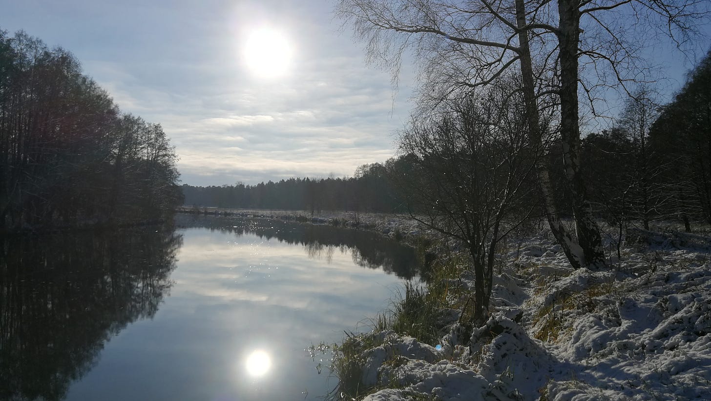
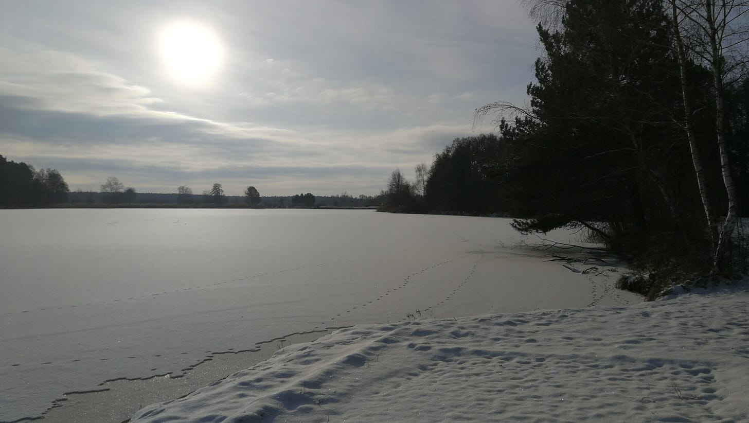
This was my only overnight south of Berlin that I experienced first-hand, and the day after was also the last time I used my hiking boots. They ended up being so constricting of my toes that they put huge blisters on both pinkie toes, and caused both my big toenails to separate off the nailbed. I had to stop hiking for two months, and buy a pair of natural-profile trail-runners, before I could hike again.
Route:
Camping: Wasserwanderrastplatz at Märkisch Buchholz (€10). This was the only overnight with the kind of camping spot I actually wanted: just some picnic tables and a restroom, with a site-warden from the town to call to pay the fee. There is only an email address to contact the local office, but they’ll give you a telephone number to call when you arrive.
Fourteenth Night: Märkisch Buchholz to Lübben
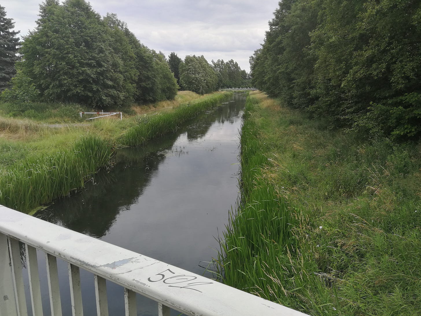
The route follows a series of canals and irrigation channels southward into the Spreewald Nature Reserve, and enters into a section of Germany with a local Slavic language group (Sorbian; from orthography and spoken forms it seems to fall somewhere between Polish and Czech). Place- and street-names are often bilingual, and there is a significant and interesting local culture (pickles and pole-boats are local attractions).
If this stage is too long for you, you can split it by adding an overnight at the Wasserwanderrastplatz at Petkampsberg, just south of Schlepzig.
As an alternative to the DJH listed below, you could also continue past Lübben another six kilometers to a small guest house at Bukoitza. This isn’t a hotel (rather a rest stop mostly for bicycle tourists) but the owner was open to the idea of my putting a tent up for a night on the property when I called him planning this hike in January. Another alternative is the Waldschule Specht in Börnichen, just north of Lübben. There, too, you can call ahead and possibly get permission to pitch a tent near the forest shelter, but there won’t be any sanitation facilities nearby, and the nearest water is an irrigation channel across the road.
Route: On MapPedometer. (this is a combined route for the section from Groß Köris to Burg, which will apply for this and the next day. 40km from Märkisch Buchholz to Lübben).
Camping: Deutsche Jugendherberge Lübben (the “DJH” is a network of youth hostels requiring membership; May-October; €30). I’m not enthusiastic about the DJH, but the only other campground in Lübben has been shut down for too many loud parties.
Fifteenth Night: Lübben to Burg-Kauper
If you stopped instead at Bukoitza or Börnichen, adjust today’s route accordingly. As I mentioned in my recap of this section of the E10, the trail makes a couple maddening route decisions, running straight down a rural road with no shoulder or footpath, when local trails instead follow canals, tree lines, and other natural features.
The trail passes through forests and marshlands before eventually leaving the Spreewald, passing through the island village of Leipe, and reaching the Biwakplatz just before Burg.
Route: same as above. 24km from Lübben to the Biwakplatz at Burg-Kauper.
Camping: The Biwakplatz is at the Bootshaus Rehnus, a family-run guest house along the water just north of the trail as you leave the Spreewald Reserve. Like Märkisch Buchholz, the Biwakplatz is minimal, and should be cheap for a tent. However, in the year that I did this section (2024), the Biwakplatz was closed for repairs. There are several others nearby: at the Gasthof Zur Wildbahn just south of the trail in Burg-Kolonie, the Zelten am Ostgraben campground a bit farther south, or (a longer deviation southward) the Wilde Wiese campground almost halfway to Raddusch. I ended up staying at the Gasthof Zur Wildbahn, and it was quite nice.
To be continued and concluded in Part 3.


