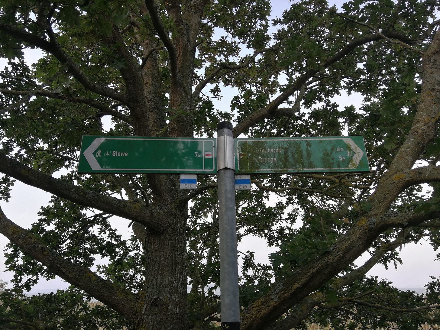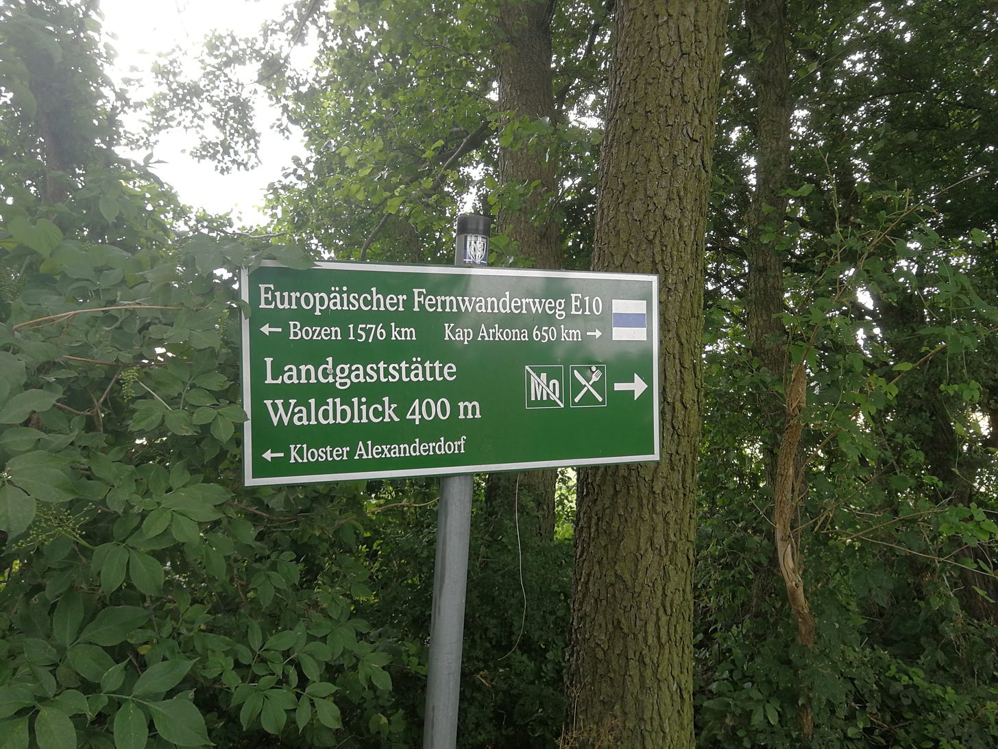
This is going to be a through-hiker’s guide to hiking the European Long-Distance Hiking Trail Number 10 (subsequently the E10) as a through-hike. As I encountered a number of difficulties in planning to hike this trail the way through-hikers might hike, for example, the Appalachian Trail in the US—that is, as a backpacker over long distances—I wanted to write a guide to doing so. As I’ve recently (almost) completed the entirety of the trail through Brandenburg, I’ll be writing a guide to hiking that section of the trail as a unit, and covering other sections as I complete them.
This post will cover some preliminaries of these guides to explain their conception, target audience, and some of the premises I’m working with in writing them. Subsequent posts will cover as many daily stages as I can fit within Substack’s article-length limits, so the first thing to note is that I’m going to be very brief in describing each daily stage.
Organization
I’m going to write this guide—and all subsequent section guides—assuming a southbound through-hike of the E10. This will take you from the rolling or mostly flat dunelands of northern Germany into terrain of gradually escalating complexity and difficulty as you cross first the mountains that compose Czechia’s borders, the hilly portions of western Austria, and finally passing Salzburg to ascend the proper Italian Alps.
For the northern portion of the Brandenburg section, this means that I’m going to be describing stages in the reverse order from how I hiked them, and video was also shot facing northbound. This shouldn’t, however, affect the daily stages, or the recommendations for overnights.
I’ll also caution that the overnights themselves have been, by far, the most difficult part of planning to through-hike the E10, as several stages have no usable campsites nearby. I’m in contact with a number of local organizations to see if we can get some built, but this is an ongoing project of mine.
Expectations
Secondly, with this guide I’m targeting experienced—or at least well-conditioned—through-hikers: my daily stages are going to be, especially for those sections I hiked after I switched to much lighter trail-runners, laid out at quite long distances. On my most-recent section-hike, covering the trail from Oranienburg to Strasen, I was averaging 28km (~17mi) a day. Some days were quite a bit longer.
The terrain in Germany’s north makes it possible to cover a lot of distance (and I’ll be adjusting accordingly once I get farther south and leave the flatlands), but my goal here is for more ambitious hikers, as I figure those are the kind of hikers who’d want to through-hike an E-Path in the first place.
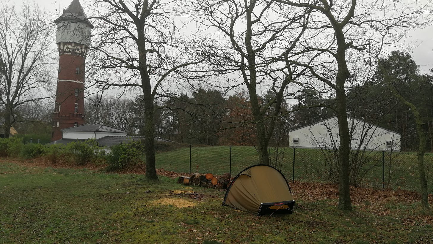
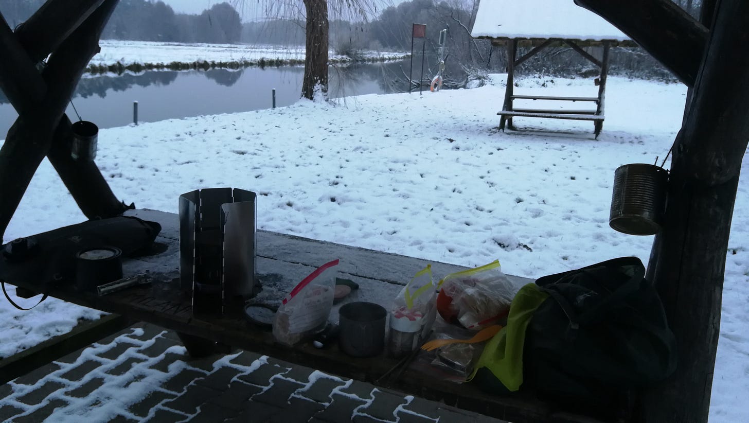
On that same note, I’m targeting the kind of hiker for whom a lot of Europe’s walking paths do not seem to have been designed. The E-Paths in particular, from what I can gather, are geared more toward hikers who are traveling from one town to the next, and will mostly be overnighting in hotels, guest-houses, and the like. Those more casual hikers will be making shorter stages, and not interested in sleeping in a tent every night or cooking their food on a backpacking stove. The kind of hiker I’m targeting is the opposite: they prefer to cover a lot of ground, pack their food and cook kit with them, filter their water from natural sources, and sleep in tents: seeking primitive overnights with minimal facilities, separated from civilization and its comforts.
Lastly on that subject, this guide also does not provide any thorough information about what gear you’ll need, except to note here that you should be equipped with the kind of gear that a competent through-hiker would have. An excellent source for long-distance hiking gear would be just about any page or media source related to the American Triple Crown trails (the AT, PCT, or CDT), so searching (for example) for “Appalachian Trail gear guide” or similar will provide you with a wealth of sources and recommendations.
Layout
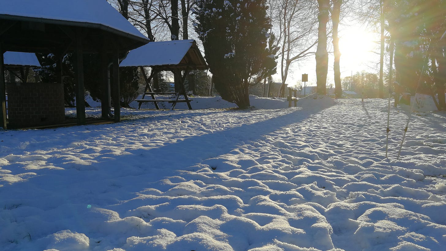
To that end, subsequent sections of this guide are going to cover each daily stage as I hiked it, and give information about where to camp along the way. I’ll make a note of towns the trail intersects that might be good locations for resupply (either by buying from local stores or arranging a postal drop-off, though I haven’t yet attempted the latter).
I’ll also provide some media showing the local landscape, describe any particular difficulties I encountered, and any other information that might be essential.
In general, as I’ve noted, the information is going to be brief, providing you with what you need to hike each section, with the goal of hiking longer stretches of a week or more.
Additional Resources
In planning these hikes, there are a few online resources that were essential tools for me to find my way, and I highly recommend them for organizing your hike:
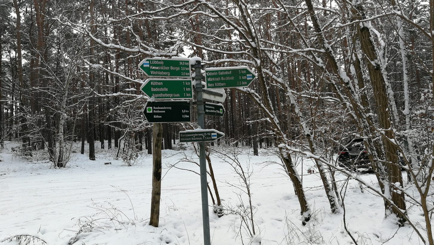
Waymarked Trails. This is a website that has marked apparently every hiking trail of any significance in Europe. Most helpfully, it also includes a GPS function so you can find your way. It doesn’t work well without reception, but I’ve found I have decent reception almost everywhere along the trail.
OpenCamping. Similar to Waymarked Trails, OpenCamping marks almost every campsite that’s part of OpenStreetMap’s database (as well as some that aren’t), including (usually) contact information.
Google Maps Pedometer. No longer using Google Maps, but OpenStreetMap, this tool marks out distances, allowing you to plan your daily stages if you want to use different overnights or cover more or less ground.
General Remarks
With all that in mind, a few observations about the E10 through Brandenburg are in order.
Landscape, Trail Conditions
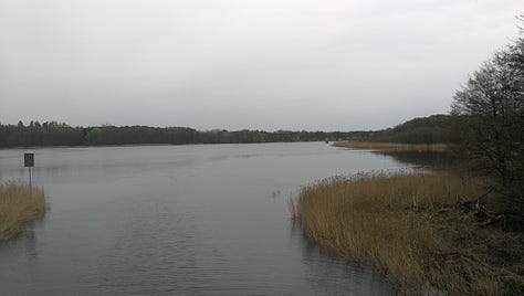
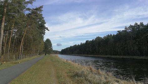
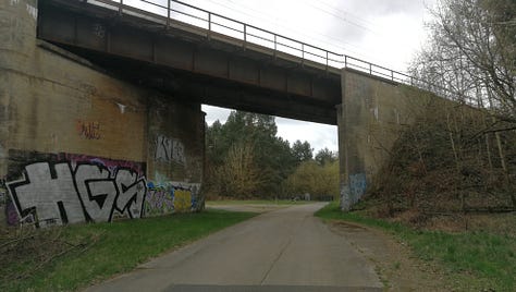
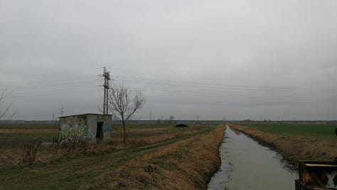
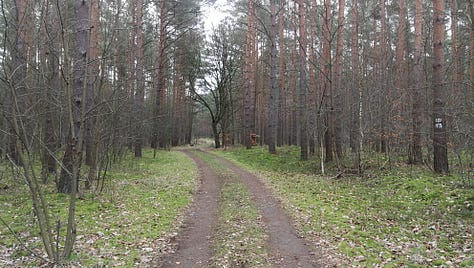
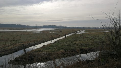
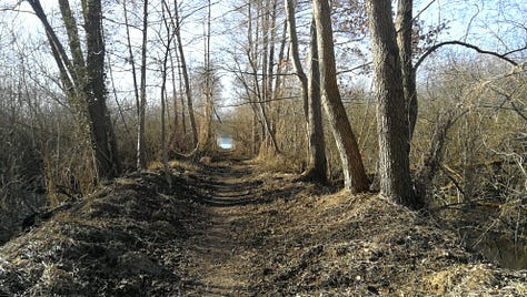
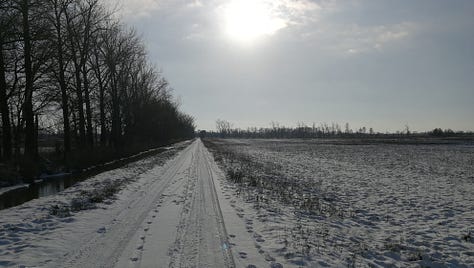
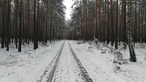
Despite being almost uniformly flat, the landscape along this section of trail is quite varied, and you’ll pass through a wide range of different ecosystems—natural and human-built—along the way. The most notable feature, as I’ve mentioned, is that the ground is almost universally made of sand of varying texture. Even where there seems to be overgrowth and good topsoil, I didn’t find anywhere where there wasn’t sand not more than a couple centimeters below the surface.
This does have bearing on your gear choices. In particular, you’ll need tent-stakes that can hold in sandy ground: the ultralight, thin tube-like stakes won’t work. You won’t need extra-large sand/snow stakes, but something like the commonly available v-profile stakes will be necessary. You’ll also have to take special care to clear the sand off your tent’s zippers. Likewise, you’ll want some lightweight gaiters to keep sand out of your shoes.
Transit, Civilization
Almost half of the trail in this section circles around Berlin in one long arc: approaching from the north through Oranienburg, crossing through Potsdam in the west, and finally running eastward along the southern edge of the city. Like much of the E10, but particularly from Oranienburg in the north to Cottbus in the southeast, you’re never going to be very far from a rail stop with easy access to trains back into the city.
This makes hiking this section as shorter day-hikes, or one or two overnights, particularly practical. Once you get north of Oranienburg, or south of Cottbus, the transit connections get more distant and you’ll need to plan for at least a few days out on the trail. Small towns, though you can certainly cross some where you might find a small cafe or restaurant, might not have even a local grocery store, and most stores won’t be open Sundays.
Also note: what in German is called a “Campingplatz” (which might translate into “campground” in English) is closer to a trailer park, mostly taken up with trailers and RVs, often long-term rentals. What better approximates the sort of hiker-centric campsite I have in mind is usually called a “Biwakplatz” (literally: “bivouac site”). When calling to ask about overnights it’s important to note this difference, as rolling up a camper van and parking for weeks is what most people imagine when they hear “Campingplatz” and will generally get a chilly reception.
Seasons
Although you can usually make use of the more public bivouac sites any time of year, a lot of private campgrounds are only open from April to October, and this will significantly alter your plans if you like hiking in the winter. You can do it for certain sections, but others you’re going to be without a reliable overnight. This is one of the issues I’d like to address as I talk with the various public officials about getting more hikers’ bivouacs built along the trail; but for now, be prepared to double-check your overnights if you’re hiking outside of the tourist season.


